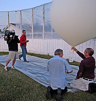
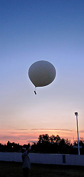
BEAR-3 - August 22nd, 2009Launch was at 6:42 AM, the balloon burst at 8:39 AM at 116,387 ft. and the payload landed 47.7 miles from the launch site at 9:21 AM after a 2 hr. & 39 min. flight. This was an altitude record attempt using hydrogen, a 1500g balloon and a 95.8 gram tracker consisting of a Trimble Lassen iQ GPS, a Byonics Micro-Trak 300 and four AAA Lithium L92 Batteries. We haven't been able to resist trying for the altitude record since helping with SABLE-3, seeing it reach the unexpected altitude of 117,597 ft., learning this was the 6th highest on record and only 2925 ft. short of the 120,522 ft. record (at the time). The current record is 128,379 ft. and we had hoped to reach at least 130K ft., but it's amazing how quickly a balloon fills when less then 50 cu ft. of gas is needed and how hard it is to remove excess gas without possibly damaging the balloon with the internal gas pressure no more then the external air pressure and the gas simply a bubble at the top of an un-stretched balloon envelope so we decided to simply launch and hope for the best. Only 116,387 ft. was reached, but we had a good time and will simply try again. The tracker was recovered and one of our group even saw it land close by in a field as everyone else looked in the wrong direction. It was also a good rehearsal for the BEAR-4 camera flight the next day.
GPS with it's antenna was 19g, MicroTrak was 15.6g, 4 AAA cell battery was 32g, Tx antenna was 5g and enclosure was 24.2g. See the Micro-Trak 300 - V1.4 Tracker page for more information.| |
|
|
|
|
||
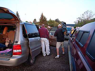 |
Then to our vehicles to start the tracking process. I like to track using Google Earth as Garrett and I had a hi-speed wireless internet connection, but Garrett was also using a Nuvi 350 and running a number of different programs to make landing predictions plus log & I-Gate received data to the internet for others. Feeding data from the tracking vehicles to the web was especially important as we would all soon be out of range of any digipeaters and I-Gates where we would be going. Garrett does a much better job of explaining what all he was doing HERE. 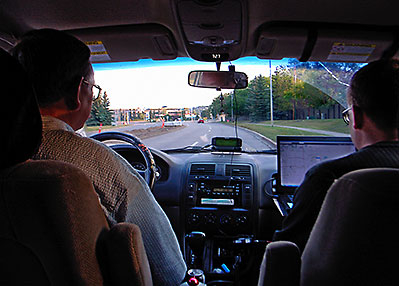 |
|
 |
||
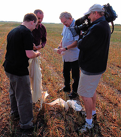
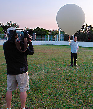
| The tracker was recovered in a farmers field not far from where we waited for it to land. The camera man in the photos was for the story 'Daily Planet' on the Discovery Channel did about our BEAR 3 & 4 flights. Watch for another altitude record attempt, but with a properly filled balloon & even lighter tracker next time. |
||
| To BEAR Home Page |