|
SABLE-4 St. Albert Balloon Launch Experiments
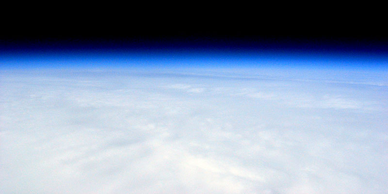
Photo from SABLE-4 close to maximum altitude of 110,219 feet. Tony's choice to use SABLE for his balloon launch experiments worked well as it's still applicable after moving from Southern Alberta to teach at Sir George Simpson Jr. High in St. Albert where SABLE-4 was designed as a school project for a group of grade 7 & 8 students.
A poem written by one of the students was also sent aloft in the payload.
|
|
|
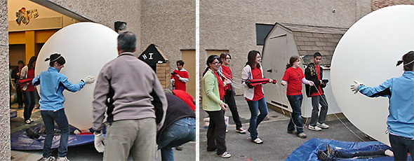 |
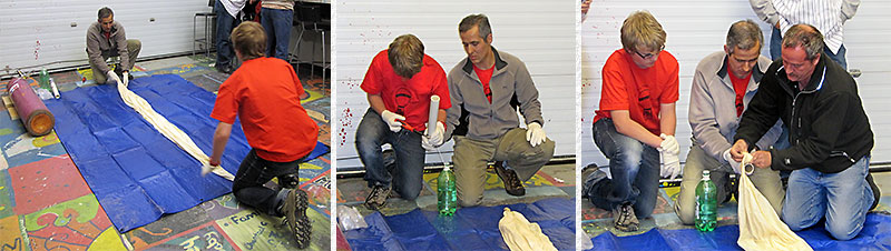
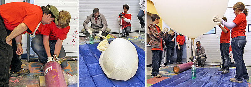
Garrett confirms the APRS tracker is operating 100% before Tony and I seal the payload package. James helps students attach the parachute and the balloon with everything attached and ready to be launched is carefully manoeuvred outside through the close fitting door. | |
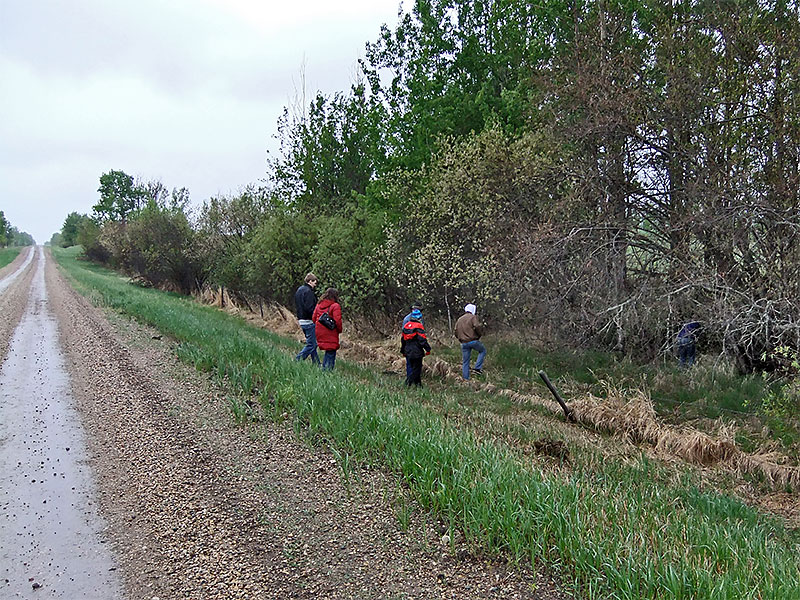
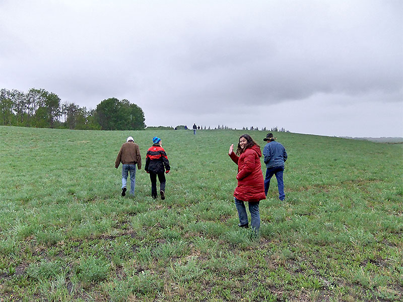
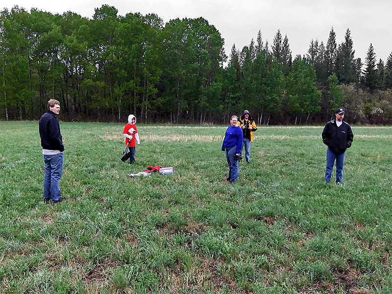
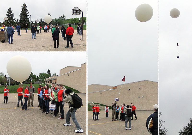 The students walk the balloon assembly to a clear area and Tony releases it on it's journey. |
||
| ("Click" on following photos for a larger image.) | |||
 1st image at ≈ 50 ft. |
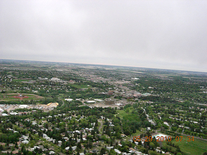 2cd image at ≈ 550 ft. |
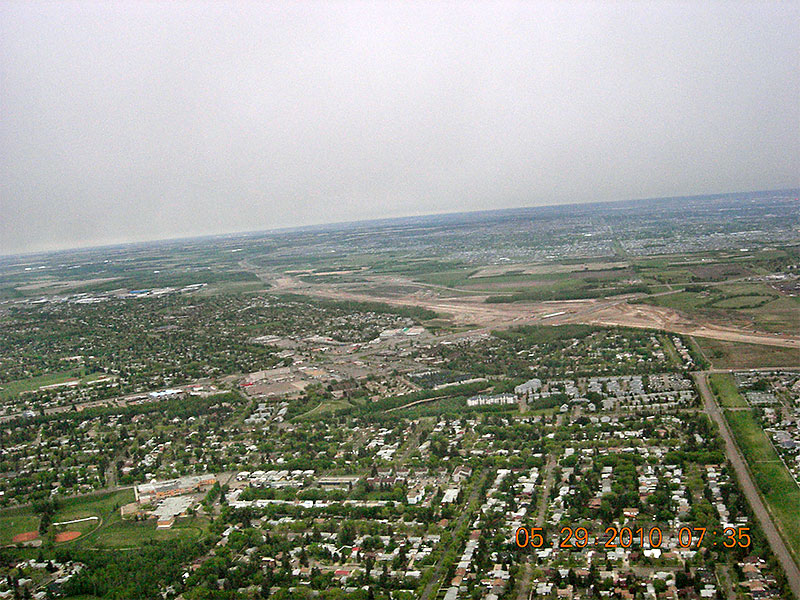 3rd image at ≈ 1100 ft. |
 4th image at ≈ 1700 ft. |
 5th image at ≈ 2550 ft. |
 6th image at ≈ 3300 ft. |
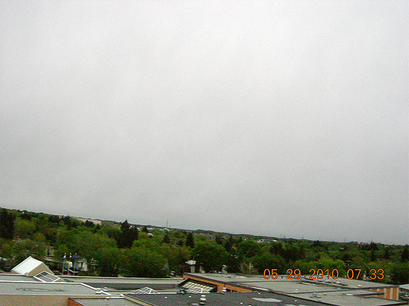
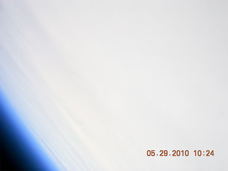
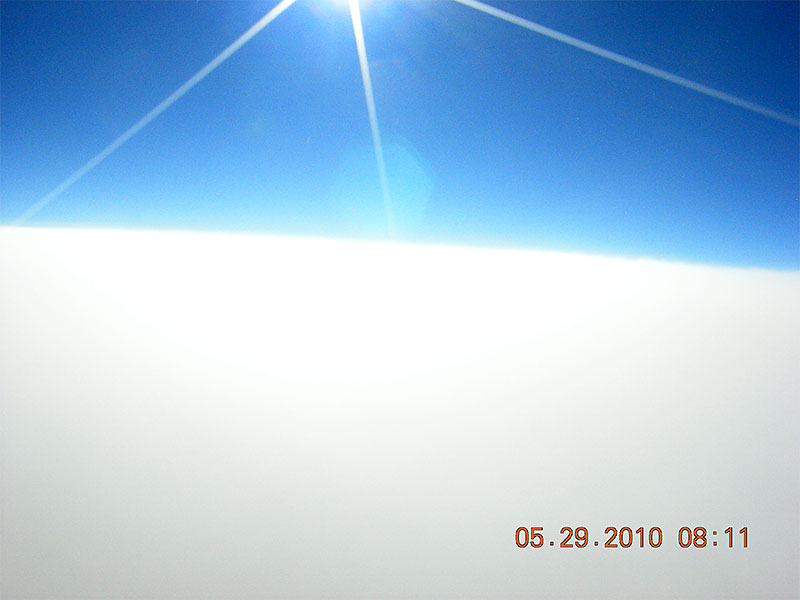 Emerging above the clouds at ≈ 31,000 ft. |
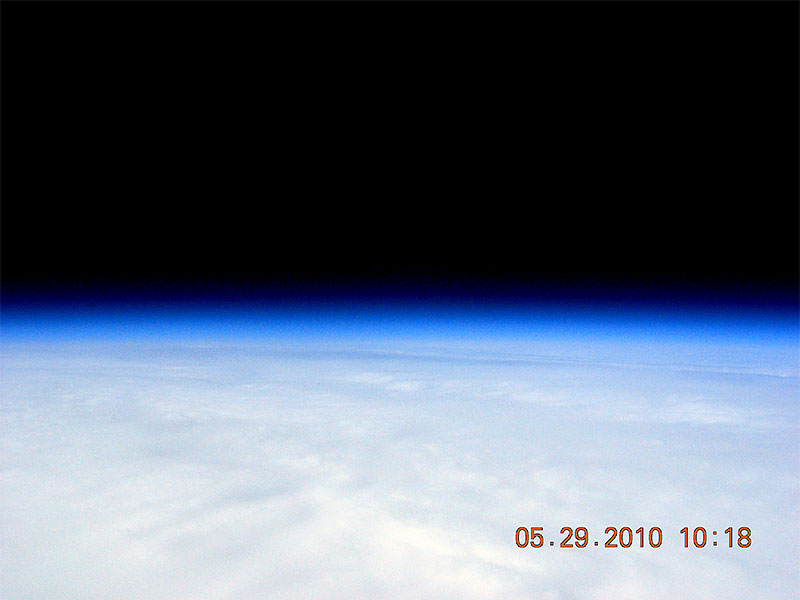 Near Maximum Altitude of 110,219 ft. |
 Tumbling during descent. |
 Final image before landing. |
|
|
|
|
|
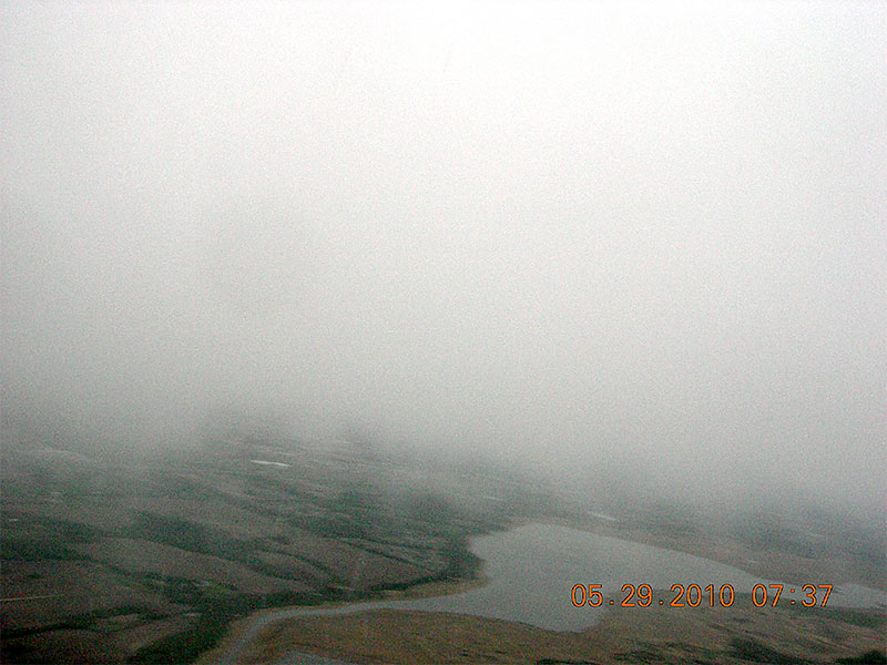
194 images were captured (1/min) during the 3 hr. 14 min. flight, but few showed much detail with it being so overcast. 6 images were captured before the camera entered the clouds and lost sight of the ground at ≈ 3300 ft. It was a beautiful sunny day as usual as the camera emerged above the clouds 33 minutes later at ≈ 31,000 ft., but most of the images were simply a blanket of white for as far as the camera could see with the cloud bank extending hundreds of miles. |
|
|
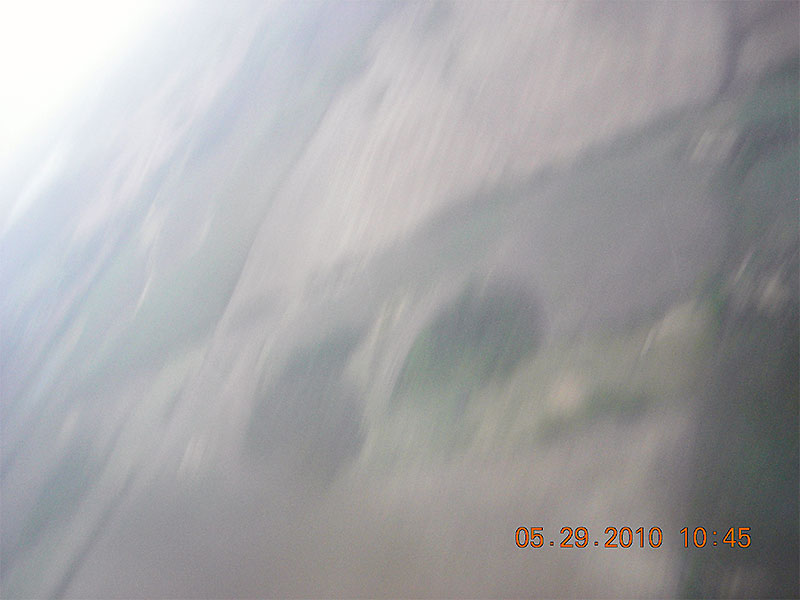
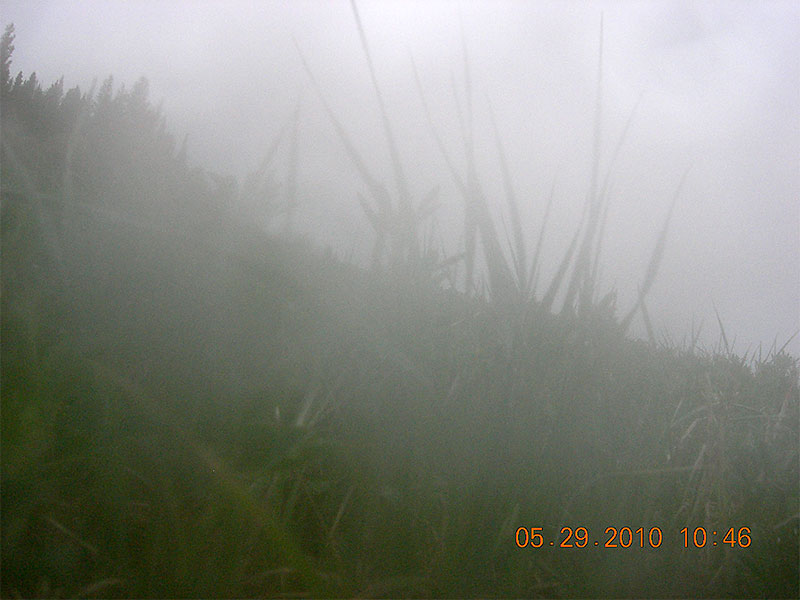
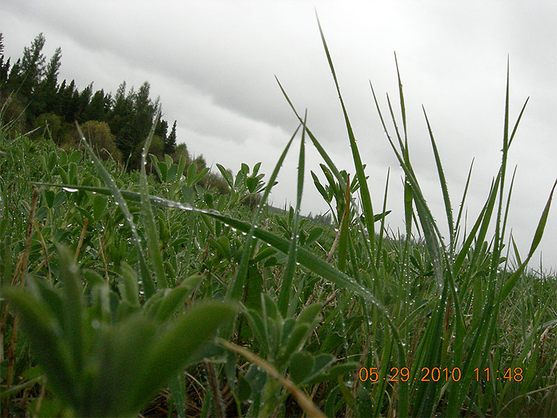
Luckily, 1 image just before the balloon burst showed some cloud detail making it much better then the rest. During decent the balloon remnants, parachute and payload all became very tangled and few images showed much with all the spinning, tumbling and clouds. The high descent rate also only allowed time for 1 blurry image after emerging below the clouds prior to landing. It took a while to recover the payload this time which ended up being good as it took fog on the camera lens 62 min's to dissipate while it lay in the field. We arrived on the scene 36 min's later and one of the last images shows Tony placing the payload in his vehicle after a short 5 minute walk back from the field. |
|||
 |
 |
 |
 |
 |
 |
 |
 |
|
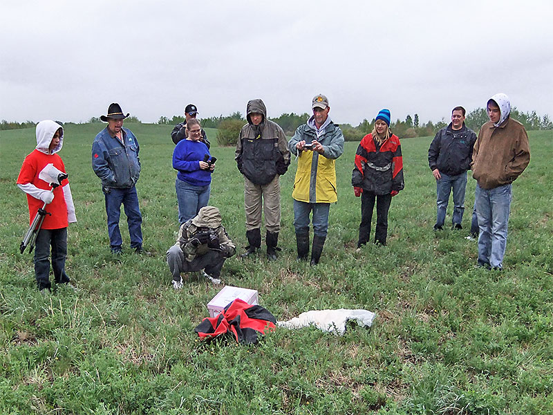
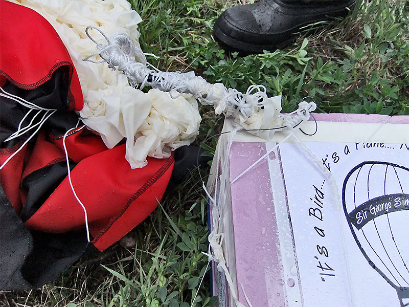
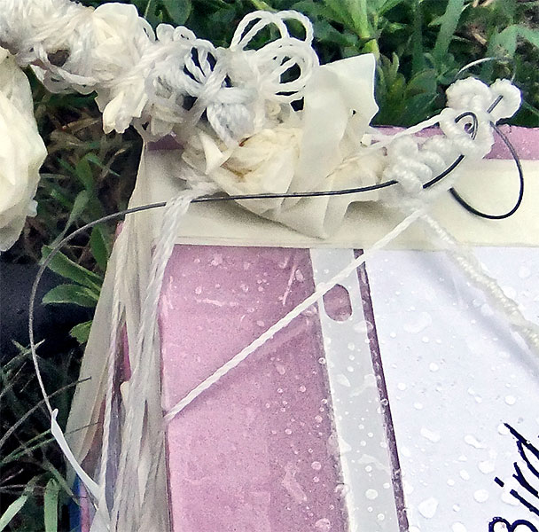
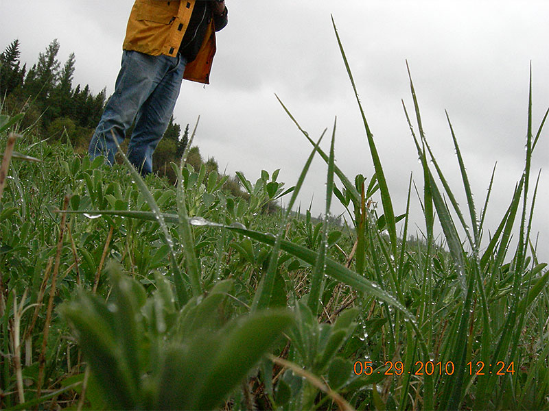
When the payload landed we were in the area, but like BEAR-6 we were unable to receive the tracker signal needed to determine its exact location and organized a grid search listening for the signal. The last received position report was from ≈ 8000 ft. and we knew when to listen for the tracker signal, but as we started the search one of our vehicle trackers was beaconing about the same time which masked the signal and we drove right past where we finally received a position report and found the payload about 80 minutes later. Examining the antenna (right) revealed why we had trouble receiving the tracker during its descent and after it landed. The active antenna element that should have been ≈ 19.6" long was tied up in a knot along with the parachute and other cords leaving it only ≈ 8" long. More info about this antenna and improvements can be found on the 1/2 wave center-fed antenna page. |
 |
||
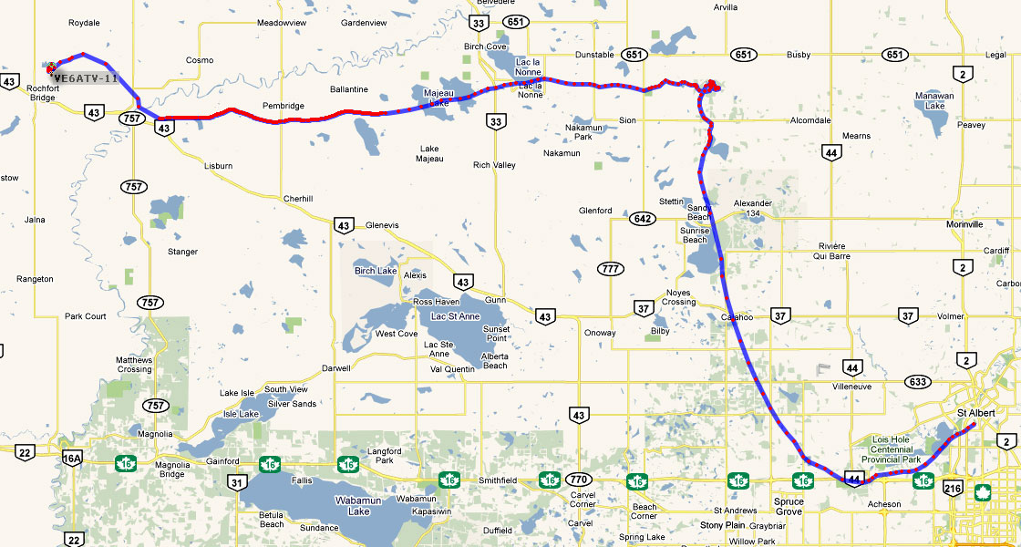 |
Sable-4 landed 61.1 miles (98.3 km) from where it was launched after travelling 83.5 miles (134.4 km) during its 3 hr. 14 min. flight. In addition to photos and tracking data, the student's also have data from 2 temperature sensors (1 internal & 1 external) plus a humidity and pressure sensor to study. Click on map for a larger image A SABLE-4.kml file is also available for viewing the flight using Google Earth. |
||
|
The same camera as used for SABLE-3 was used for this flight and the tracker was a prototype of a new one being developed by RPC Electronics, called RTrak-HAB which was flight tested for the first time on this flight. See my RTrak-HAB Page for more information about this tracker. This flight provided some interesting data near its maximum altitude that we have yet to fully understand. The rate of rise was about 700 ft/min until ≈ 100,000 ft. and then slowly decreased until about 300 ft/min at 109,114 ft. or ≈ 50 ft every 10 sec's. Around 109,356 ft. this slowed to ≈ 10 ft every 10 sec's and we wondered if we may have a floater and never get our equipment back, but it then rose back up to ≈ 50 ft every 10 sec's by 109,612 ft. At 110,114 ft. it started to decline again and at the maximum altitude of 110,219 ft. it started dropping again, up to 23 ft. every 10 sec's at 110,124 ft., until at 110,075 ft. it started rising again up to 33 ft. every 10 sec's at 110,167 ft. when the balloon burst. The balloon had slowly descended almost 150 ft. and we thought it may have developed a slow leak until it began rising again. We figured there was too little atmosphere above 100,000 ft. to affect a balloon in this manner, but we were obviously wrong unless someone has a better explanation. Regardless, we were very happy to see the balloon finally burst and our equipment return to us. |
|||

| sbszoo.com Main Home Page |
BEAR Home Page |
SABLE Home Page |
Amateur Radio Home Page |